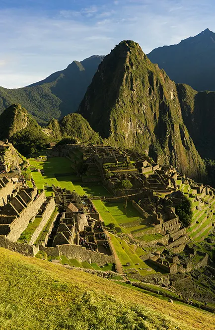


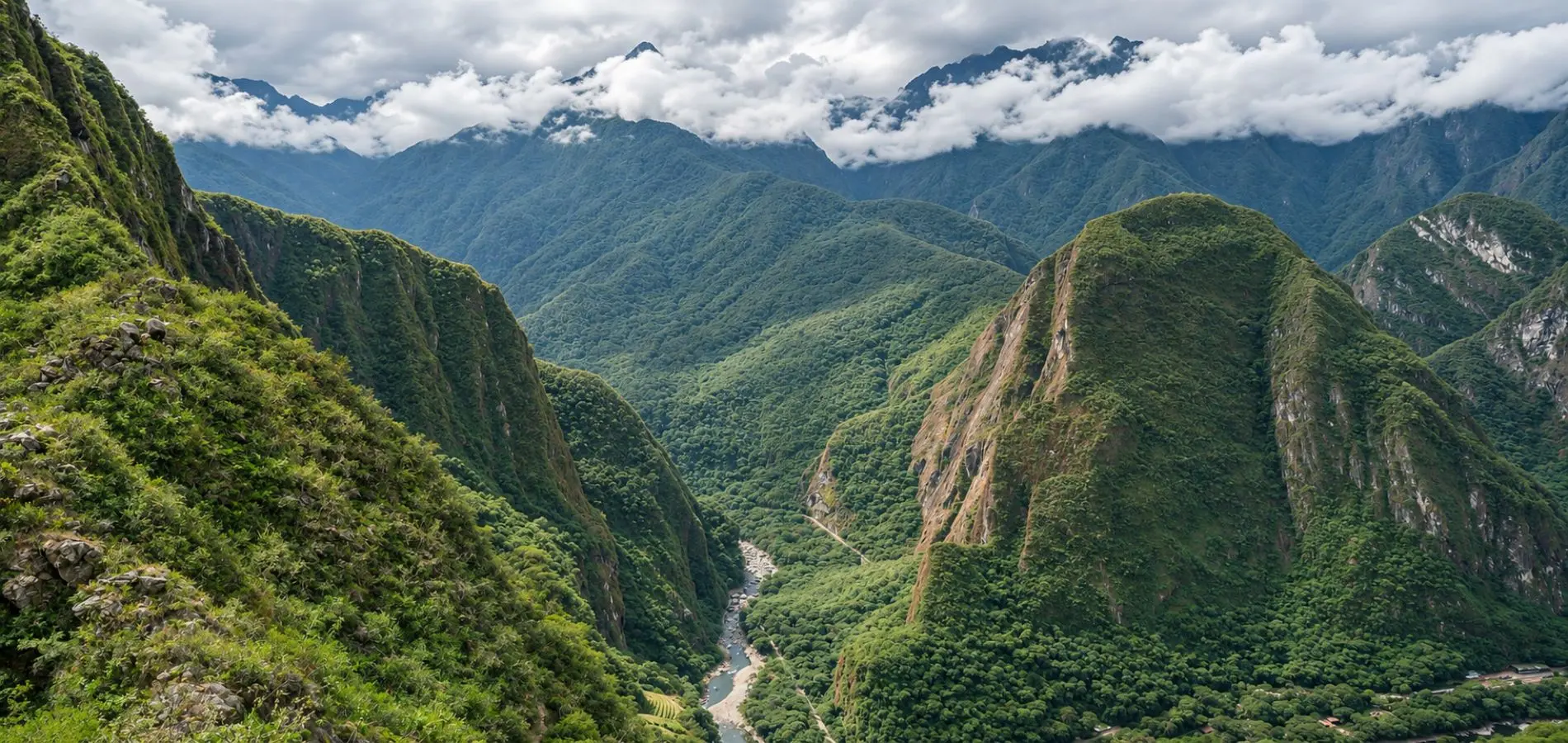
Putucusi Mountain rises across the Urubamba River from Machu Picchu, near the town of Aguas Calientes. Its steep, green slopes stand out in the valley, and older accounts of the climb describe views back toward the Inca citadel. But many hiking guides overlook an important detail: as of November 6, 2026, we could not confirm that there is an authorized, safe route to the summit.
If you’re curious about Putucusi, this guide explains where the mountain is, what happened to its old wooden ladders, and how to check access before making plans. You’ll also learn about its place in Andean tradition and other ways to enjoy the scenery around Machu Picchu.
What Is Putucusi Mountain and Where Is It Located?
Putucusi is a mountain near Machu Picchu Pueblo (Aguas Calientes), in Peru’s Cusco region. It stands on the opposite side of the Urubamba River from the archaeological site. Although it often appears in photographs of the surrounding mountains, it is separate from Huayna Picchu and Machu Picchu Mountain, which have their own regulated visitor routes.
How High Is Putucusi Mountain?
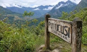
Peru’s Ministry of Foreign Trade and Tourism (MINCETUR) records Putucusi at 2,560 meters (about 8,400 feet) above sea level. That is the elevation of the peak, not the distance of a hike. Its rocky slopes and dense vegetation are typical of the transition between the Andes and the cloud forest around Machu Picchu.
| Quick fact | What to know |
|---|---|
| Location | Machupicchu district, Urubamba Province, Cusco, Peru |
| Nearest town | Machu Picchu Pueblo (Aguas Calientes) |
| Position | Across the Urubamba River from Machu Picchu |
| Elevation | 2,560 m (approximately 8,400 ft) |
| Landscape | Steep rocky slopes and cloud forest |
| Summit route | Current authorized access not confirmed as of November 6, 2026 |
Is Putucusi Mountain Open to Visitors?
As of November 6, 2026, we could not confirm an officially authorized route for tourists to reach Putucusi’s summit. This does not mean the mountain has been declared permanently closed. It means that a trail shown on an old map, or described in a past traveler’s account, should not be assumed to be available today.
What Is the Current Status of the Putucusi Trail?
MINCETUR’s tourism inventory describes an ascent using wooden stairways fixed to the rock, but the inventory is not a live trail-status notice. In October 2026, Peru’s Andina news agency reported that the District Municipality of Machupicchu was working on a possible route to the top. The report did not announce that a new route was finished or open for visitors.
Where Can Travelers Verify Access Before Visiting?
The District Municipality of Machupicchu is the first place to ask. Its published central telephone number is +51 84 211099. Ask whether a route is open, how visitors may enter, and whether restrictions or safety requirements apply. The Ministry of Culture and SERNANP can provide information about rules affecting the protected sanctuary. If you cannot confirm permission and safe access, leave the ascent out of your plans.
Why Is the Putucusi Mountain Trail Considered Dangerous?
The historical Putucusi hike was more demanding than an ordinary forest walk. Some sections crossed steep rock, and wooden ladders were used where the slope became particularly exposed. Rain and slippery surfaces make that kind of terrain difficult, and there is no reliable current confirmation that the old equipment is usable.
The History of Putucusi’s Wooden Ladders
Older descriptions mention ladders anchored into the rock, including sections of more than 100 steps. A 2012 report from Conservation Volunteers International Program documented a landslide that destroyed several ladders. Volunteers worked on the lower trail while the authorities had closed the route for repairs. This explains how serious the damage was at the time, but it does not tell us the condition of the ladders in 2026.
What Have Recent Rescue Incidents Revealed?
On October 13, 2026, Agencia Andina reported a police rescue involving a Ukrainian tourist who had become stranded on difficult terrain. Officers found him roughly 100 meters from the start of the ascent and brought him down safely for a medical evaluation.
The incident is a reminder that problems can arise long before the summit. A confusing route or an exposed section can make turning back difficult. Following informal climbing directions or trying to get past damaged ladders is not a sensible way to explore Putucusi.
What Can You See Around Putucusi Mountain?
Putucusi’s forested slopes are part of the scenery that makes the Machu Picchu area so recognizable. The river, steep rock faces and closely packed mountain ridges create a striking contrast with the archaeological site. You can appreciate this landscape without climbing the mountain.
The Mountain Landscape Near Machu Picchu
The Urubamba River winds through the narrow valley beneath Putucusi. On humid days, clouds drift across the slopes and sometimes hide the tops of the surrounding peaks. Historical hikers described views toward Machu Picchu from Putucusi’s summit, but that is not a viewpoint we can currently recommend to visitors.
Cloud Forest Vegetation and Wildlife
The area supports ferns, orchids, mosses and native trees. MINCETUR also describes birds such as hummingbirds and tanagers around the mountain. Across the wider Machupicchu Historical Sanctuary, SERNANP documents the Andean cock-of-the-rock and the spectacled bear. Those species belong to the regional ecosystem, although seeing them on a particular visit is never guaranteed.
The Cultural Meaning of Putucusi in Andean Tradition
Putucusi is also part of the cultural landscape around Machu Picchu. Local accounts of the mountain tell us something about how Andean communities have understood and related to the places around them.
What Does the Name Putucusi Mean?
MINCETUR translates the traditional Quechua name Putucusi as “happy mountain.” You may also see it written as P’utucusi, Phutuq K’usi or Putukusi. These spellings refer to the same mountain.
Putucusi as a Sacred Andean Mountain
In Andean tradition, an apu is a mountain regarded as a protective spiritual presence. MINCETUR identifies Putucusi as one of the seven apus associated with the Machupicchu district and records oral traditions about offerings to Pachamama and nearby mountains. These are accounts of cultural beliefs, not scientific claims or proof that ceremonies are still practiced in the same way today.
Safer Ways to Experience the Mountains Around Machu Picchu
If it is the scenery that interests you, there are established ways to enjoy the area without attempting Putucusi’s old route. Your choice will depend on whether you prefer panoramic views, time among the ruins or a more demanding authorized hike.
Exploring Official Machu Picchu Circuits
Machu Picchu has three principal visitor circuits: Panoramic (Circuit 1), Classic (Circuit 2) and Royalty (Circuit 3). For wide views of the citadel and the surrounding mountains, the Upper Terrace route (1-B) in the Panoramic Circuit is worth considering. Huayna Picchu and Machu Picchu Mountain are separate, more physically demanding routes with their own ticket requirements.
Before booking, check the Ministry of Culture’s official circuit information. Tickets are issued for a particular route, date and entry time. A ticket to one circuit does not allow you to enter every trail.
Enjoying Mountain Scenery Without Climbing Putucusi
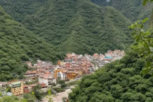
You can also enjoy the green slopes from public areas of Aguas Calientes and on the train journey through the Urubamba Valley. These are different views from the historic summit panorama, but they let you experience the landscape without venturing onto a route with uncertain access. If a hike is important to your trip, choose an authorized one suited to your fitness and experience.
Frequently Asked Questions About Putucusi Mountain
Is Putucusi Mountain Open for Hiking?
We could not confirm an authorized summit route as of November 6, 2026. Check with the District Municipality of Machupicchu before planning an ascent.
Where Is Putucusi Mountain Located?
It is near Aguas Calientes in Cusco, Peru, across the Urubamba River from the Machu Picchu archaeological site.
How High Is Putucusi Mountain?
MINCETUR records an elevation of 2,560 meters (about 8,400 feet) above sea level.
Is It Safe to Climb Putucusi Mountain?
The old route has steep rock sections and a history of damaged wooden ladders. Without confirmation of a maintained, authorized trail, an independent ascent is not advisable.
Can You See Machu Picchu from Putucusi?
Historical accounts describe a view of the Inca citadel from the summit, but that does not establish that visitors can reach it today.
Do You Need a Ticket to Visit Putucusi?
The older MINCETUR record lists free entry, but it is not a current permission or ticket policy. Confirm requirements with the municipality. A Machu Picchu citadel ticket does not authorize a Putucusi ascent.
Final Thoughts: Understanding Putucusi Beyond the Hike
Putucusi is worth knowing about even if you never climb it. Its green slopes frame the Machu Picchu landscape, and its name and traditions offer another way to understand the region. The old ladders are part of the mountain’s history, not a reason to attempt an uncertain ascent.
For a visit focused on the scenery and history of the region, Auri Peru Travel offers private Machu Picchu experiences through authorized sites, with no Putucusi climb included.